Looks up the nearest reference name for a given zipcode (4 digits) based on the shortest distance in the postcodes4_afstanden dataset.
adherence_area(
  zipcode,
  reference = c(Antonius = "8601", `Frisius Heerenveen` = "8441", `Frisius Leeuwarden` =
    "8934", Martini = "9728", `Nij Smellinghe` = "9202", Ommelander = "9679", Treant =
    "7824", Wilhelmina = "9401")
)
Arguments
- zipcode
A character or numeric vector of zipcodes. Six-character zipcodes are automatically truncated to the first 4 digits using
substr().- reference
A character vector of zipcodes to use as reference, preferably named. Defaults to hospitals in the region.
Value
A character vector of names of reference, the same length as zipcode.
Details
The function looks up the distance from each input zipcode to all zipcodes of reference in postcodes4_afstanden. The names with the shortest distance is returned. In case of equal distances, the first name in definition order is chosen.
Zipcodes not found in postcodes4_afstanden return NA.
Examples
adherence_area("9700")
#> Interpreting missing 9700 as closest higher 9711
#> [1] "Martini"
adherence_area(c("9713", "7702", "8896"))
#> [1] "Martini" "Treant" "Frisius Leeuwarden"
# six-character zipcodes are automatically truncated
adherence_area("9251AB")
#> [1] "Frisius Leeuwarden"
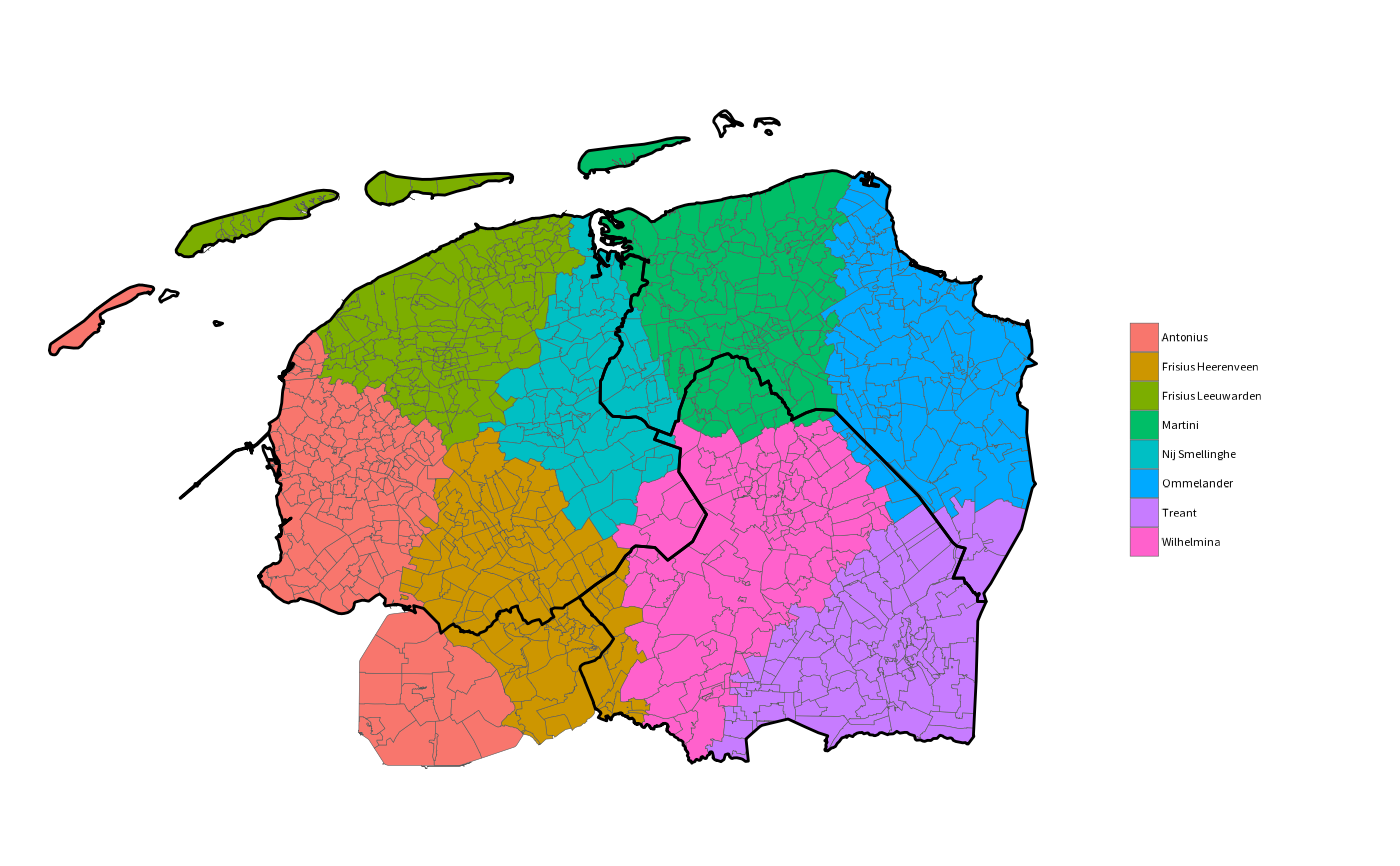
if (requireNamespace("certeplot2", quietly = TRUE)) {
geo_postcodes4 |>
crop_certe() |>
plot2(category = suppressMessages(adherence_area(postcode)),
datalabels = FALSE) |>
plot2::add_sf(geo_provincies |> crop_certe(),
colour_fill = NA, colour = "black", linewidth = 0.5)
}
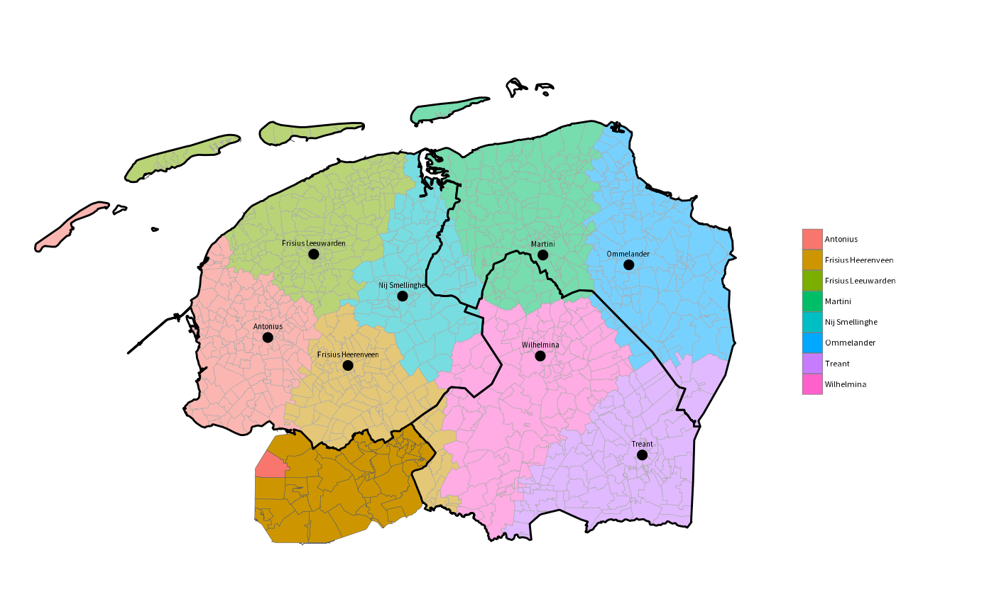
 if (requireNamespace("certeplot2", quietly = TRUE)) {
hospitals <- c("Antonius" = "8601",
"Frisius Heerenveen" = "8441",
"Frisius Leeuwarden" = "8934",
"Martini" = "9728",
"Nij Smellinghe" = "9202",
"Ommelander" = "9679",
"Treant" = "7824",
"Wilhelmina" = "9401")
zip4 <- geo_postcodes4 |> crop_certe()
zip4 |>
plot2(category = adherence_area(postcode, reference = hospitals),
datalabels = FALSE) |>
plot2::add_sf(geo_provincies |> crop_certe(),
colour_fill = "#FFFFFF77", colour = "black", linewidth = 0.5) |>
plot2::add_sf(zip_to_sf(hospitals),
datalabels = names(hospitals),
colour = "black")
}
if (requireNamespace("certeplot2", quietly = TRUE)) {
hospitals <- c("Antonius" = "8601",
"Frisius Heerenveen" = "8441",
"Frisius Leeuwarden" = "8934",
"Martini" = "9728",
"Nij Smellinghe" = "9202",
"Ommelander" = "9679",
"Treant" = "7824",
"Wilhelmina" = "9401")
zip4 <- geo_postcodes4 |> crop_certe()
zip4 |>
plot2(category = adherence_area(postcode, reference = hospitals),
datalabels = FALSE) |>
plot2::add_sf(geo_provincies |> crop_certe(),
colour_fill = "#FFFFFF77", colour = "black", linewidth = 0.5) |>
plot2::add_sf(zip_to_sf(hospitals),
datalabels = names(hospitals),
colour = "black")
}